Q&A Active Travel and the Active Travel Network Map (ATNM)
What is the Active Travel Network Map/ATNM?
The Active Travel Network Map (ATNM) is a strategic, Welsh Government-mandated planning tool that identifies existing and proposed walking, cycling, and wheeling routes. Mapping the network on the ATNM allows local authorities to safeguard existing and future routes, and to apply for funding to improve routes
The ATNM distinguishes between ‘Existing Routes’ and ‘Future Routes’, to show what part of the network has already passed audit, and what routes are needed but not in place/not up to the standards laid out in Welsh Government's Active Travel Act Guidance.
The ATNM helps to prioritise, design, and implement improved accessible routes for walking, wheeling and cycling. This work supports development of sustainable transport networks. The map and prioritisation of routes on the map allows routes to be developed, improved and safeguarded. Identifying routes allows them to attract development and construction funding, or to be built into (or required as a condition of) local developments, with the overall goal of supporting active and sustainable travel across communities in Wales
How is the Active Travel Network Map developed?
The ATNM is developed by the MCC Active Travel team, following consultation and engagement with people, stakeholder groups, statutory stakeholders and elected representatives. The active travel team mapped a network of routes that link where people live to trip attractors such as schools and public transport locations.
The ATNM has been developed, revised and refined through area and route audits, mapping of trip origins and destinations (homes and ‘trip attractors’) and, most importantly, through consultations. Consultations ask you, as members of the public, stakeholders and public representatives, to comment on the proposed update to the ATNM. We will use your comments to check route alignment and network coverage, update our understanding of route and connectivity issues, and respond to changes in the area/local movement trends since the previous consultation. Following the consultation the Active Travel team review the feedback and update the map accordingly.
Where can I view the Active Travel Network Map?
You can see the most recent version of the ATNM in the 2026 Consultation materials (i.e. when you fill out the consultation survey). To view the ATNM approved in 2022, please go to Active Travel Network Maps | DataMapWales or Mapiau Rhwydwaith Teithio Llesol | MapDataCymru
Welsh Government’s Active Travel Network Map is updated by Local Authorities, as and when routes are developed, (re)audited or altered. The revised map is submitted to Welsh Ministers for approval every few years, as requested by Welsh Government. Monmouthshire's ATNM was most recently approved by Welsh Ministers in 2022, following extensive public and stakeholder consultation on the proposed map in 2020-21.
Since 2021, interim updates to the ATNM have been made due to changes to infrastructure, the Local Development Plan and local development. The map presented for consultation shows these interim changes, to be updated through this consultation, before being sent to Welsh Government for approval.
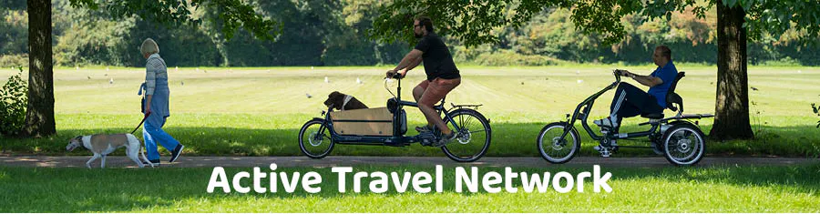
What is Active Travel
'Active travel’ (called ‘AT’ for short) refers to making everyday, purposeful journeys—such as commuting, school runs, or trips to local shops—by physically active, people-powered means. It primarily includes walking, cycling, and ‘wheeling’ (using wheelchairs or mobility aids), as well as scooting.
Cycling includes travel by push-bike, adaptive cycle (trike, etc.), cargo bike and e-cycles.
Not included are bikes that are legally classed as motorbikes (those that are throttle-controlled or engine-assisted above 15.5mph) and e-scooters.
What is an ‘Active Travel route’, in terms of the ATNM?
In terms of Monmouthshire’s Active Travel Network Map (ATNM), an Active Travel route is an identified route forming a network of core Active Travel routes. These are mapped on the ATNM, to plan the construction or improvement and safeguarding of primary routes.
Active travel (waking, wheeling or cycling) can be done on many footways, cycleways, shared use paths, footpaths or streets. The network of routes mapped on the ATNM specifically focuses on core routes identified as serving purposeful journeys in communities, such as everyday journeys to work, school, shops and services, and public transport stops.
Active Travel routes can align with the existing Highway, but they don’t have to be: The ATNM can show a route that’s needed but isn’t in place yet, or that would be needed in the future as part of a planned development, such as those in the Deposit sites identified in Monmouthshire’s Replacement Local Development Plan.
The map shows routes that have passed an ‘Active Travel audit’ as an ‘Existing Route’ and those that failed audit or can’t yet be audited, i.e. those that need to be developed or improved, as a ‘Future Route’
What is not an ‘Active Travel route’ in terms of the ATNM?
The definition of an Active Travel Route excludes those for purely recreational use, such as an off-road circuit or mountain bike trail. Improvements to Active Travel routes can support leisure use, but the priority is given to supporting ‘purposeful’ journeys to destinations.
Not every existing footway, path and cycle route is mapped on the ATNM, even though you may use it for active travel. This is because the purpose of the ATNM is to identify core Active Travel routes, to focus on routes that can provide the greatest benefit by being improved or constructed and safeguarded.